
Abu Rudeis and Abu Darba: understanding the western coast of Sinai
Journal · 2026-10-14
A different perspective on the peninsula: the Gulf of Suez, mountain valleys and the modern history of Abu Rudeis, with clear distinctions between mapped places and confirmed visits.
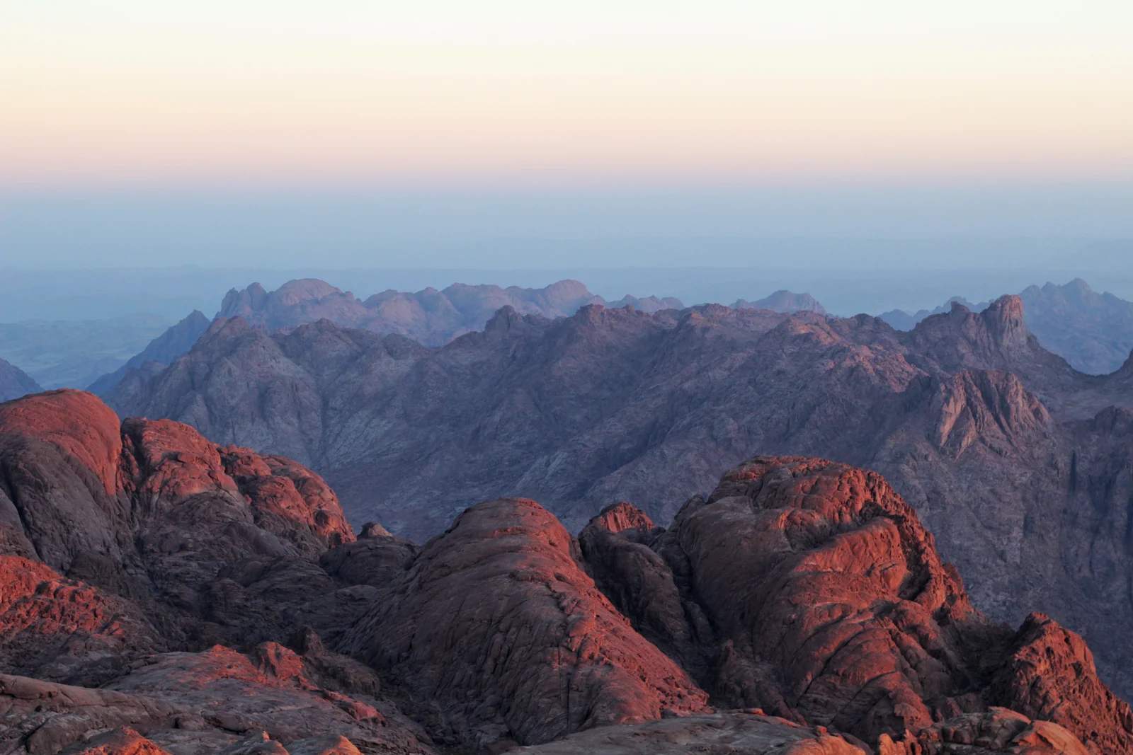
Sinai mountains: a regional landscape, not a photograph of the individual places described below.
Two coasts, two different journeys
Abu Rudeis is on the Gulf of Suez side of Sinai, south of Abu Zenima on the road towards El Tor. It should not be placed on an itinerary that runs north from Dahab to Taba as though all these places were successive stops on the same coast. The distinction is the key to a sensible journey. The eastern coast is the context for Dahab and Taba; the western coast introduces a different landscape and a different part of the peninsula’s working history. Use an actual road itinerary when deciding which places fit together.
Abu Rudeis and the history of energy
The governorate describes Abu Rudeis as Sinai’s first petroleum city: onshore production began in 1953, followed by the discovery of the offshore Balaim field in 1961 and gas production in 1976. These dates help explain why an account of Sinai limited to resorts and monasteries is incomplete. Industry belongs to the region’s modern history too. This is historical context, not an invitation to visit operating facilities. Industrial installations should not be treated as sightseeing stops or photographed on the assumption that access is public.
Reading the landscape
The official city profile describes mountain ranges and deep valleys around Abu Rudeis. This relationship between coast and interior is a useful theme for anyone interested in landscape photography or geography. Rather than promising an unnamed desert excursion, choose a clearly identified route with an authorised local operator. Ask which stops are permitted, what walking is involved and where the day begins and ends. A place visible from a road can be interesting without being a visitor attraction, and a valley on a map is not automatically a marked walking trail.
Abu Darba: a place name to identify carefully
Abu Darba appears in geographical references under variant spellings including Abu Durbah. It belongs to the western Sinai context and must not be confused with Dahab or Abu Galum on the Gulf of Aqaba. Our research has not established a reliable current visitor programme, public beach service or bookable excursion for this locality. If it is mentioned in a proposed trip, ask the organiser for a map pin and a description of the actual stop. Naming it in a regional guide is useful; presenting unverified facilities or invented opening hours would not help you plan.
Who this journey suits
This coast is a subject for a more curious, deliberately planned journey: modern history, geography and time in a regional city such as El Tor. If you mainly want a straightforward snorkelling day with a published pickup and inclusions, start instead with the established excursions from Sharm. If the western coast is your priority, ask for a tailored proposal and confirm current routing before reserving accommodation around it. We have not attached a generic booking button here: a Dahab excursion would take you to another coast. Follow the El Tor guide below to develop the western-coast idea further.